File:Central America Landforms Map.JPG
From ThePlaz.com
No higher resolution available.
Central_America_Landforms_Map.JPG (590 × 496 pixels, file size: 239 KB, MIME type: image/jpeg)
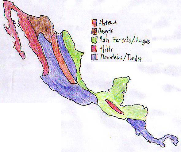
World Cultures Central America Landforms Map drawn by hand
Africa: HDI Graph Reflections - Decolonization Report
Middle East: Population Density Report - Essay: A Peaceful Vacation
South Asia: Rainfall Report - South Asia Comparisons Graph - Postcards
China: Sphere of Influences Report - Mao Button Journal
Japan: Natural Resources Report - Japanese Violence Journal
Korea: Physical Map Report
Latin America: Landforms Report
Worldwide: T-Shirt Trade Report
Intro/Basics - Africa - Middle East - South Asia - China - Japan - Korea - Latin America
Only spent half a day on this unit World Cultures Daily Questions
Notebook
- Page 101 - Central American Map, South American Map, Geo Notes, Page 2
- Page 102 - Latin American Notes, Page 2, Page 3, Page 4, Page 5, Page 6, Page 7, Page 8, Page 9
Portfolio
File history
Click on a date/time to view the file as it appeared at that time.
| Date/Time | Thumbnail | Dimensions | User | Comment | |
|---|---|---|---|---|---|
| current | 23:32, 15 January 2007 | | 590 × 496 (239 KB) | ThePlaz (Talk | contribs) | World Cultures Portfolio Central America Landforms Map drawn by hand Category:World Cultures Category:World Cultures Portfolio {{World Cultures Portfolio}} {{Worl |
- You cannot overwrite this file.
- Edit this file using an external application (See the setup instructions for more information)
File usage
The following 2 pages link to this file:


